Custom Maps
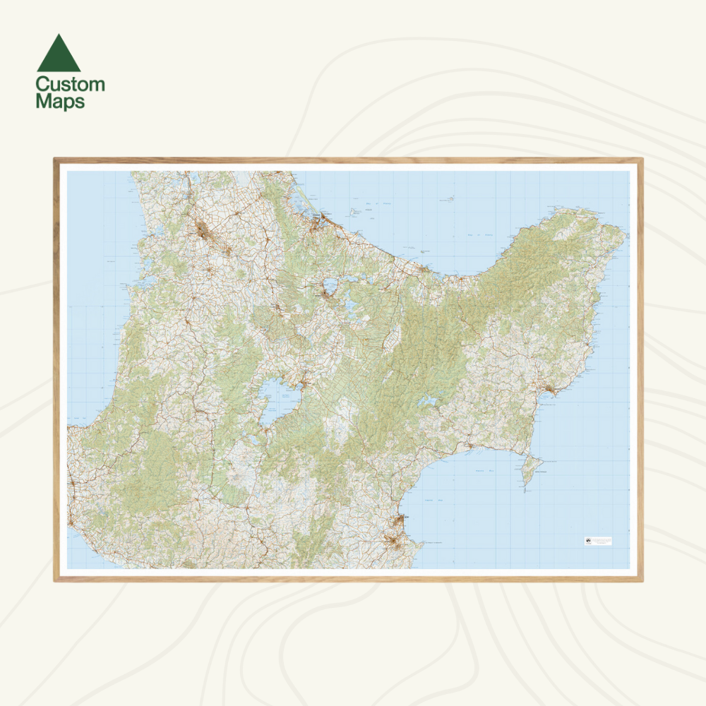
Central North Island New Zealand Wall Map
Central North Island New Zealand Wall Map
Couldn't load pickup availability
This giant topographic map of the central North Island makes a stunning statement piece for any room.
Professionally colour printed on high-quality, heavy-duty, water-resistant, tear-proof paper with a borderless edge.
Produced using Topo250 data, the map stretches from Hamilton and Tauranga in the north, via Taupō and Rotorua, to Hastings and Napier in the south. It spectacularly showcases the East Cape, Gisborne and the surrounding area too.
Variations are available on this map, or any other custom topo map - please enquire.
Sold unframed so you can choose the perfect frame for your space. See here for more framing information and frame options.
Size Options:
Please note: data has been compressed to fit as much of the island as possible onto one print. The map is produced using Topo250 data but is reproduced at a slightly reduced scale. When printed at A0, all text is clearly legible. However, at A1 some smaller text may be too small to read.
A0 (84.1 x 118.9cm) - Recommended. An A0 print gives optimal detail and resolution. This map was designed for A0 printing and A0 is our recommended print size.
A1 (59.4 x 84.1cm) - Not recommended. A more compact print. Some smaller text may be too small to read.