Custom Maps
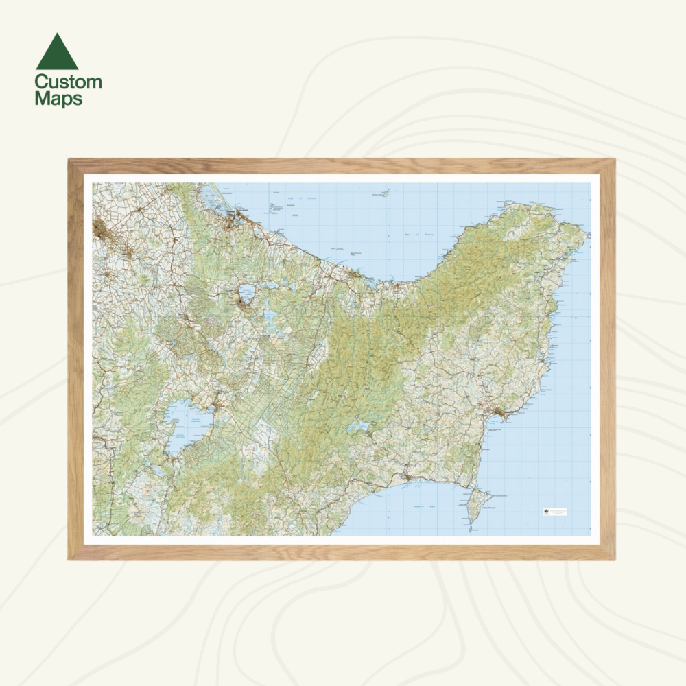
East Cape Wall Map
East Cape Wall Map
- Ships from NZ
- Hundreds of Happy Customers
- The Perfect Gift
Couldn't load pickup availability
This giant topographic map of New Zealand's East Cape makes a stunning statement piece for any room.
Professionally colour printed on high-quality, heavy-duty, water-resistant, tear-proof paper with a borderless edge.
Produced using Topo250 data, the map stretches from Cambridge and Tauranga in the north, via Taupo, to Mount Ruapehu in the south. It spectacularly showcases the East Cape, Gisborne and the surrounding area.
Variations are available on this map, or any other custom topo map - please enquire.
Sold unframed so you can choose the perfect frame for your space. See here for more framing information and frame options.
Size Options:
A0 (84.1 x 118.9cm) - Recommended. An A0 print gives optimal detail and resolution. This map was designed for A0 printing and A0 is our recommended print size.
A1 (59.4 x 84.1cm) - A more compact print. Some smaller text may be harder to read.
A2 (42.0 x 59.4cm) - Our most compact print. Significant detail will be lost at this scale and text might be illegible.