


Custom Maps
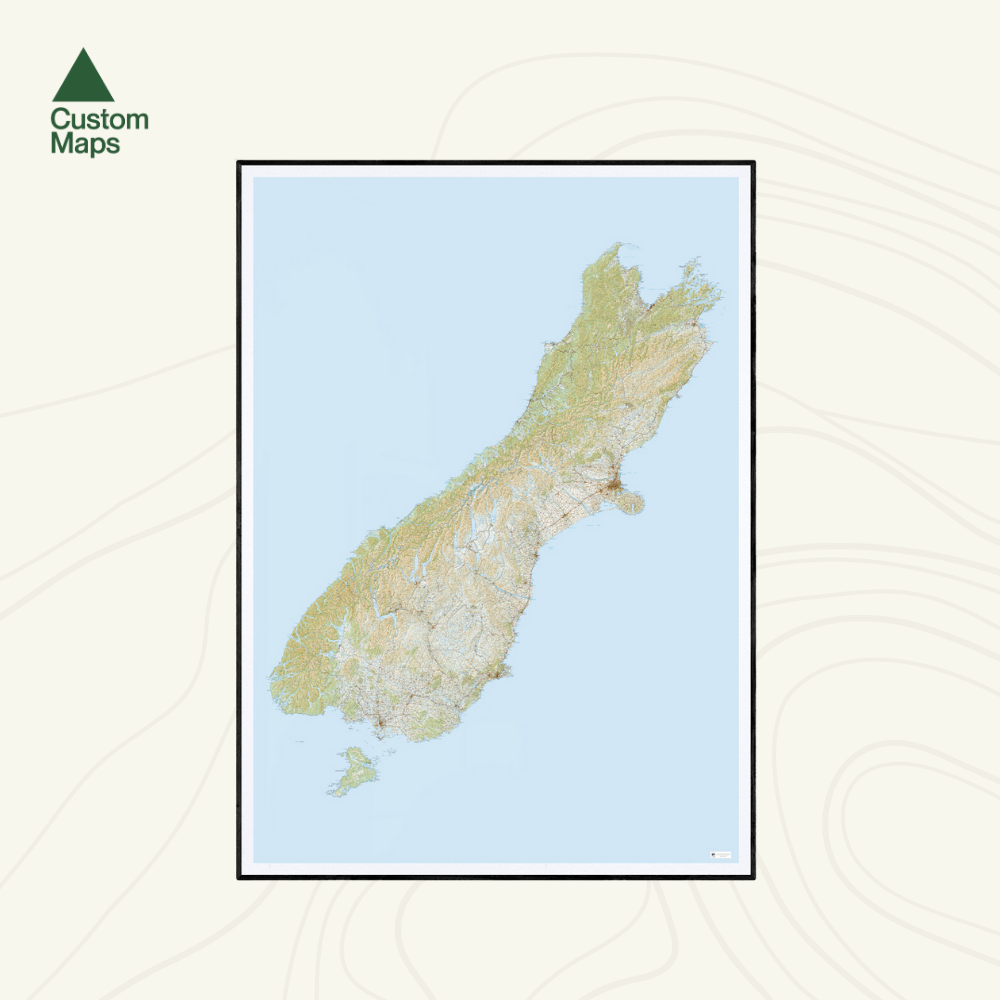
Giant South Island Wall Map
Giant South Island Wall Map
Couldn't load pickup availability
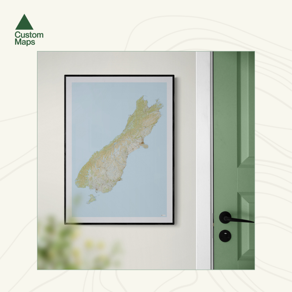
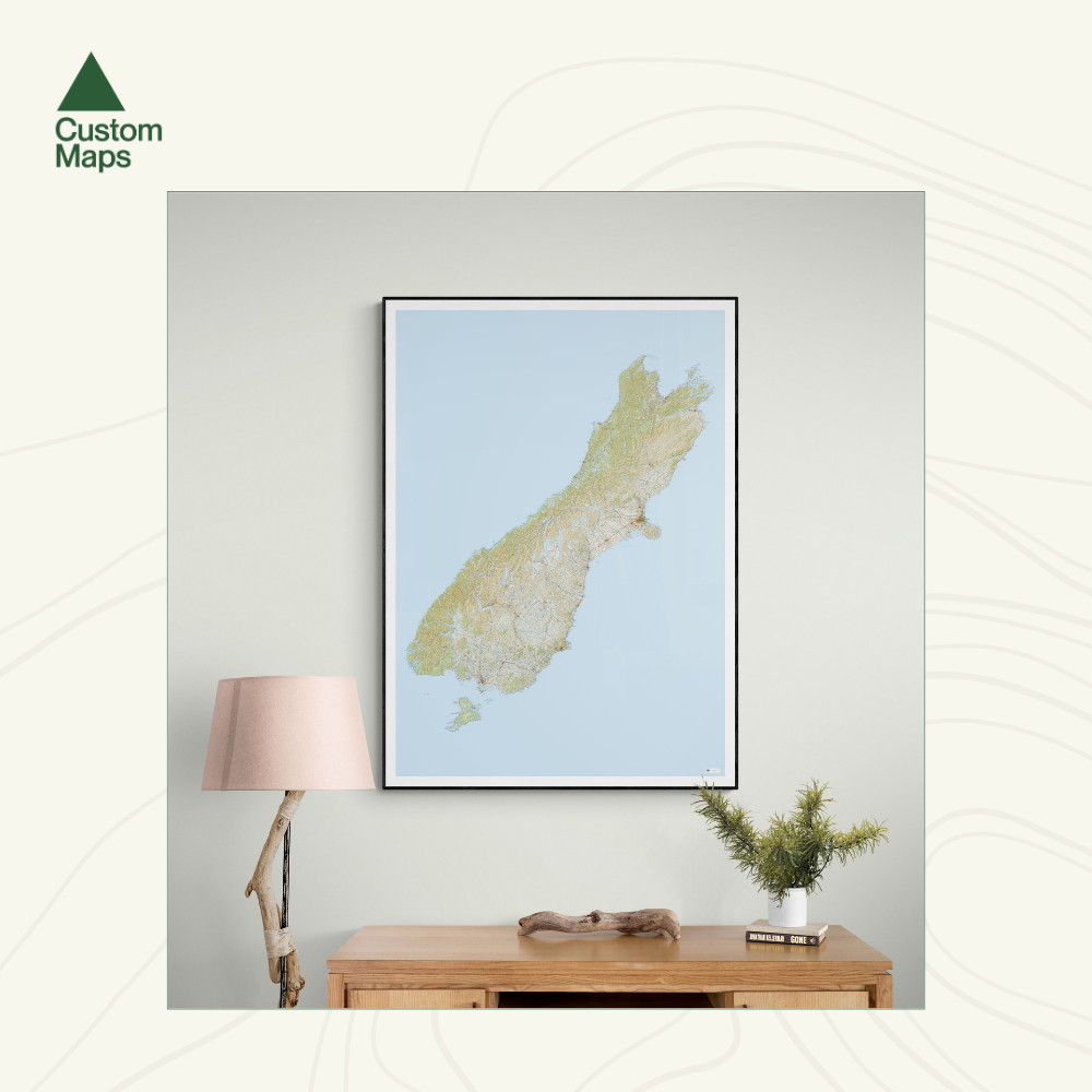
This giant topographic map of New Zealand's South Island is one of our favourite and most popular maps. It makes a truly stunning statement piece for any room.
Professionally colour printed on high-quality, heavy-duty, water-resistant, tear-proof paper with a borderless edge.
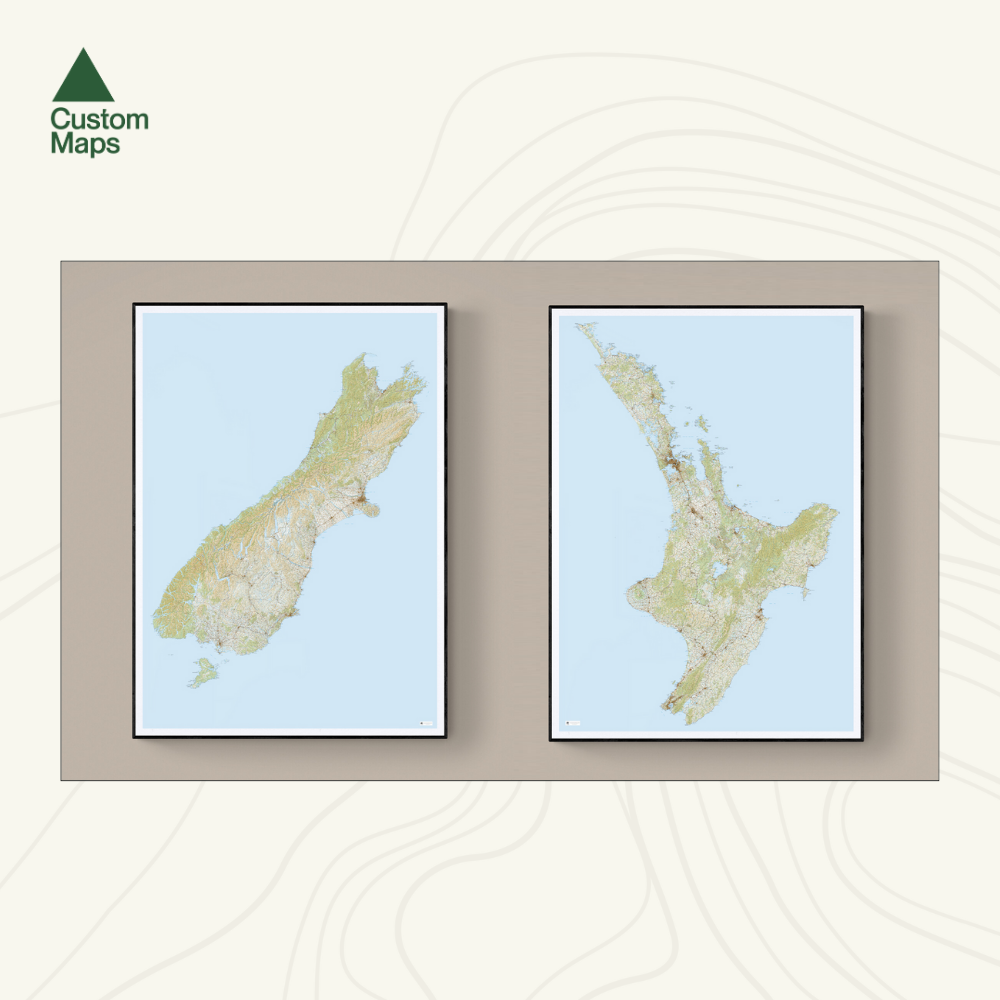
Produced using Topo250 data, the map stretches from Golden Bay in the north, to Bluff and Stewart Island in the south. It spectacularly showcases the whole of the South Island.
Variations are available on this map, or any other custom topo map - please enquire. Consider pairing this map with our Giant North Island Wall Map, as shown in the photographs.
Sold unframed so you can choose the perfect frame for your space. See here for more framing information and frame options.
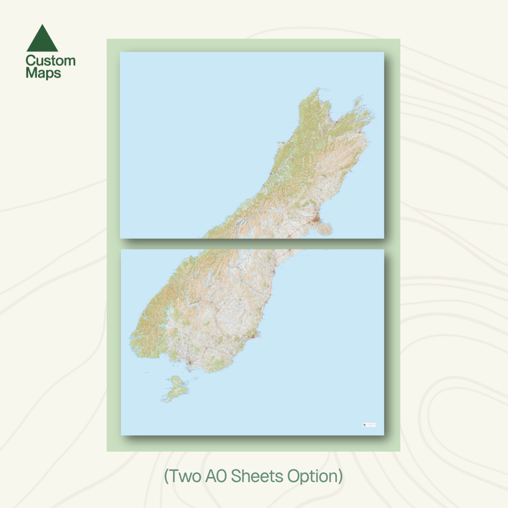
Size Options:
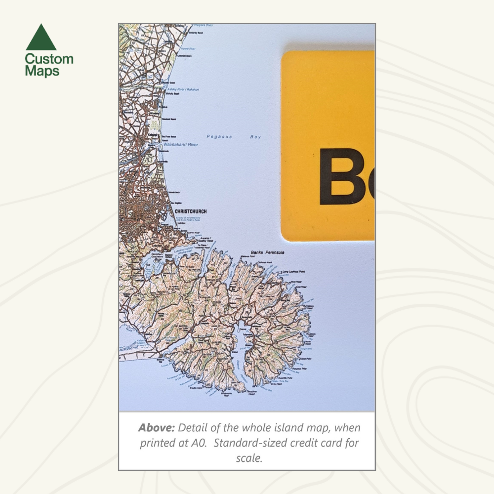
Please note that this map was produced using Topo250 data, but has been compressed to allow the entire South Island to be printed as one.
A0 (84.1 x 118.9cm) - This is the only print option for this map. Large place names are legible but smaller text is not legible; see the reference close up photographs as an example.