Custom Maps
Auckland and Waiheke Island Wall Map
Auckland and Waiheke Island Wall Map
Regular price
$139.00 NZD
Regular price
Sale price
$139.00 NZD
Shipping calculated at checkout.
Quantity
Couldn't load pickup availability
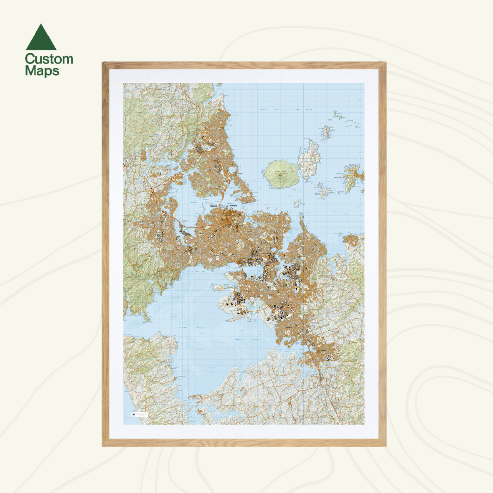
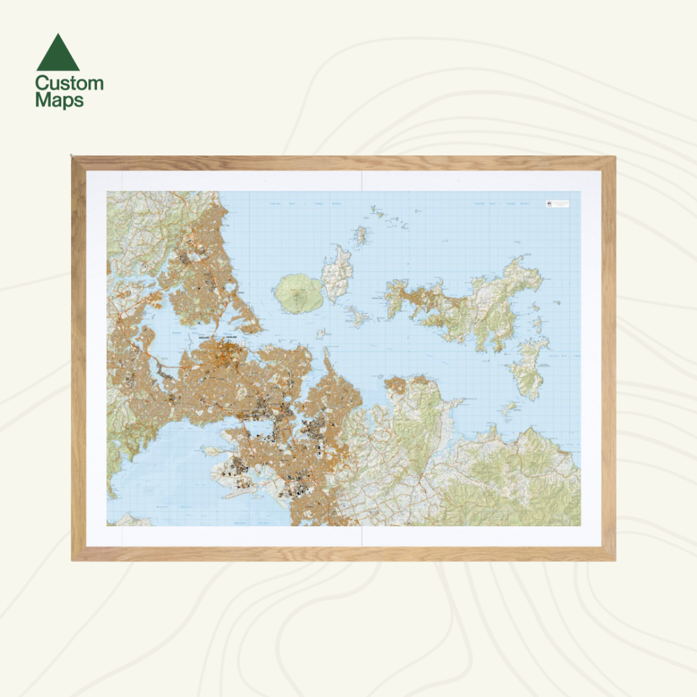
This giant topographic map of Auckland and Waiheke Island makes a stunning statement piece for any room.
Professionally colour printed on high-quality, heavy-duty, water-resistant, tear-proof paper with a borderless edge.
Variations are available on this map, or any other custom topo map - please enquire.
Sold unframed so you can choose the perfect frame for your space. See here for more framing information and frame options.
Print Options:
- Landscape: Produced using Topo50 data, this map brilliantly showcases Auckland, from Long Bay in the north, to the airport in the south, including Waiheke Island, Rangitoto Island, Motutapu Island and Ponui Island.
- Portrait: Also produced using Topo50 data, this is a portrait variation on the map. Note this variation does not show all of Waiheke Island (see photos).
Size Options:
- A0 (84.1 x 118.9cm) - Recommended. An A0 print gives optimal detail and resolution. This map was designed for A0 printing and A0 is our recommended print size.
- A1 (59.4 x 84.1cm) - A more compact print. Some smaller text may be harder to read.
- A2 (42.0 x 59.4cm) - Our most compact print. Significant detail will be lost at this scale and text might be illegible.