
Custom Maps
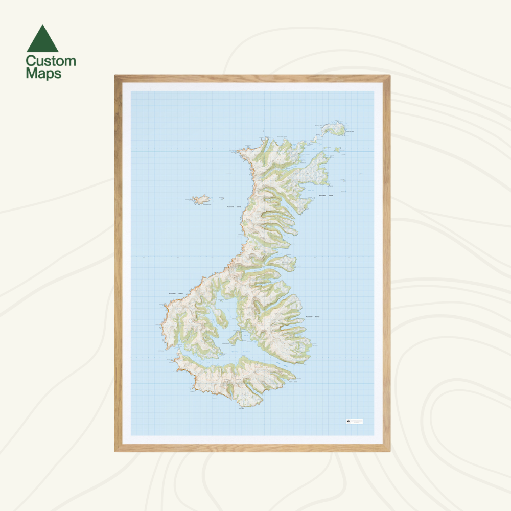
Auckland Islands Wall Map
Auckland Islands Wall Map
- Ships from NZ
- Hundreds of Happy Customers
- The Perfect Gift
Couldn't load pickup availability
Few places on earth feel as remote as the Auckland Islands - a subantarctic archipelago battered by the Roaring Forties, teeming with wildlife, and visited by almost no one. T
his topographic wall map brings the remarkable landscape to life using Topo50 data, charting the rugged coastline, bays, and interior terrain in sharp detail.
Print Options:
1. Classic - Our original print, on heavy-duty, water-resistant, tear-proof paper with a borderless edge. Sold unframed - pair it with one of our Wooden Map Frames, or see our framing guide for options. Available in three sizes:
- A0 (84.1 × 118.9cm) - Recommended. Designed for this size. Best detail and resolution.
- A1 (59.4 × 84.1cm) - A more compact option. Some smaller text may be harder to read.
- A2 (42.0 × 59.4cm) - Our most compact size. Significant detail is lost and text may be illegible at this scale.
2. Framed Canvas - Our premium option. Printed at A0 (84.1 × 118.9cm) on art-grade canvas and framed in a raw wood float frame (10mm wide, 45mm deep), cut and built to order here in New Zealand. Arrives ready to hang - no framing, no hassle. Allow up to two weeks for delivery. See full details and examples here.
Auckland Islands Wall Map
$155.00
Print Type