

Custom Maps
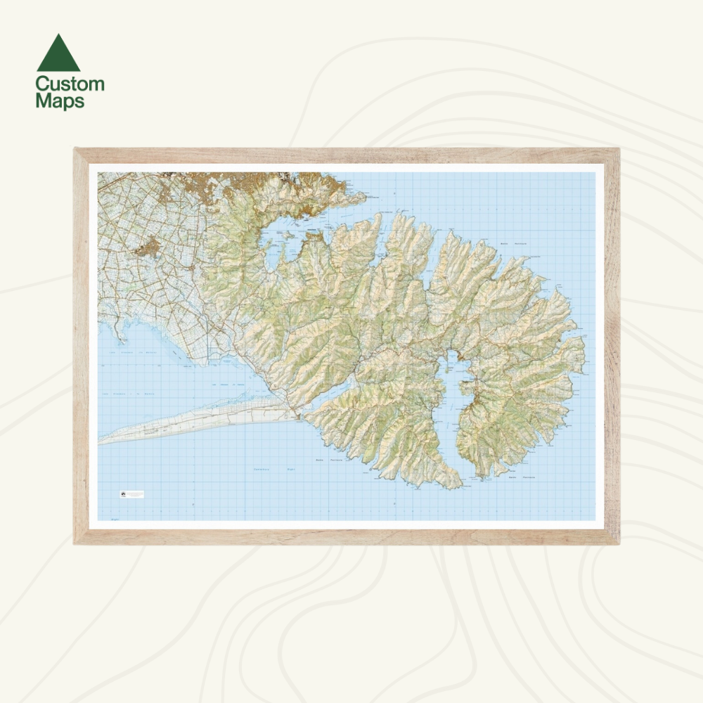
Banks Peninsula and Akaroa Wall Map
Banks Peninsula and Akaroa Wall Map
- Ships from NZ
- Hundreds of Happy Customers
- The Perfect Gift
Please note: Due to current high demand, please allow up to two weeks for processing, printing, drying and delivery.
Couldn't load pickup availability
The drowned craters of Banks Peninsula form one of the South Island's most intricate coastlines - a labyrinth of bays, headlands, and harbour arms. This Banks Peninsula and Akaroa topographic wall map, produced from LINZ Topo50 data, details the landscape at scale with exceptional clarity. A beautiful New Zealand topo map print for anyone who knows and loves this corner of Canterbury.
The map stretches from Sumner in the north to the Kaitorete Spit in the south, spectacularly showcasing Akaroa Harbour and the wider peninsula.
Variations are available on this map, or any other custom topo map - please enquire.
Print Options:
1. Classic - Our original print, on heavy-duty, water-resistant, tear-proof paper with a borderless edge. Sold unframed - pair it with one of our Wooden Map Frames, or see our framing guide for options. Available in three sizes:
- A0 (84.1 × 118.9cm) - Recommended. Designed for this size. Best detail and resolution.
- A1 (59.4 × 84.1cm) - A more compact option. Some smaller text may be harder to read.
- A2 (42.0 × 59.4cm) - Our most compact size. Significant detail is lost and text may be illegible at this scale.
2. Framed Canvas - Our premium option. Printed at A0 (84.1 × 118.9cm) on art-grade canvas and framed in a raw wood float frame (10mm wide, 45mm deep), cut and built to order here in New Zealand. Arrives ready to hang - no framing, no hassle. Allow up to two weeks for delivery. See full details and examples here.
Banks Peninsula and Akaroa Wall Map
$155.00
Print Type