

Custom Maps
Castle Hill Aerial Print
Castle Hill Aerial Print
- Ships from NZ
- Hundreds of Happy Customers
- The Perfect Gift
Please note: Due to current high demand, please allow up to two weeks for processing, printing, drying and delivery.
Couldn't load pickup availability
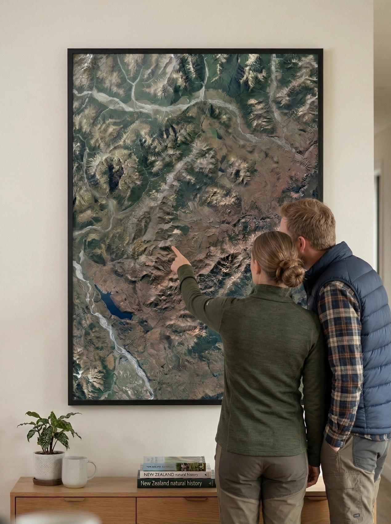
The limestone karst of Castle Hill sits in the high Canterbury plains like something from another world. It's equally striking from above. This Castle Hill aerial map print captures the village, the surrounding basin, and those extraordinary rock formations in high-resolution. A distinctive piece for any interior.
The print stretches from Lake Coleridge in the west to the Poulter River in the east, and from Crow Valley in the north to South Malvern in the south.
All our maps are meticulously edited for clarity, colour balance and visual impact. As our maps are made from hundreds of aerial photos taken on different days, subtle colour variations may appear.
Printed on premium photographic paper. Designed to make a statement on any wall. Available in multiple sizes.
Custom locations and close ups also available - please contact us.
Sold unframed so you can choose the perfect frame for your space. See here for more framing information and frame options.
Size Options:
A0 (84.1 x 118.9cm) - An A0 print gives optimal detail and resolution. Choose A0 for maximum impact.
A1 (59.4 x 84.1cm) - A more compact print. Some detail will be compromised.
A2 (42.0 x 59.4cm) - Our most compact print for smaller spaces.
Castle Hill Aerial Print
$165.00
Print Size