Custom Maps
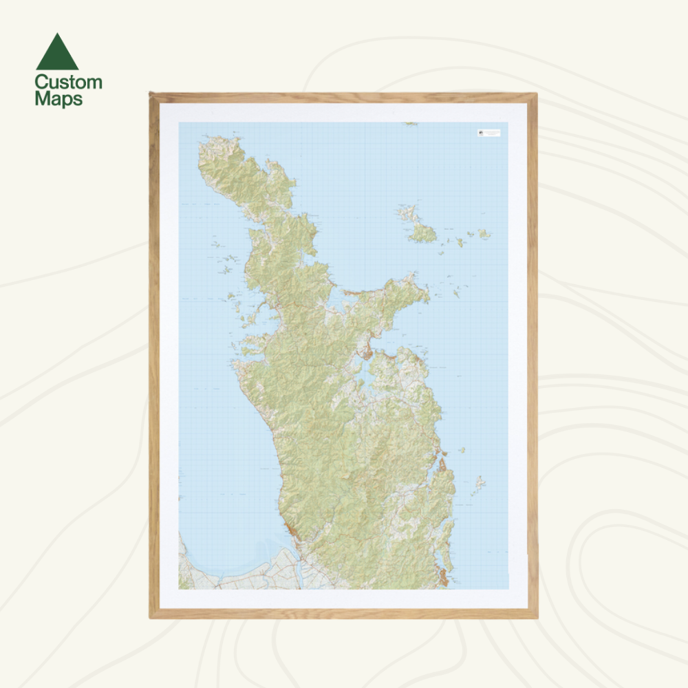
Coromandel Peninsula Wall Map
Coromandel Peninsula Wall Map
- Ships from NZ
- Hundreds of Happy Customers
- The Perfect Gift
Couldn't load pickup availability
This giant topo map of the Coromandel Peninsula makes a stunning wall piece for any bach, and the perfect adventure planning tool.
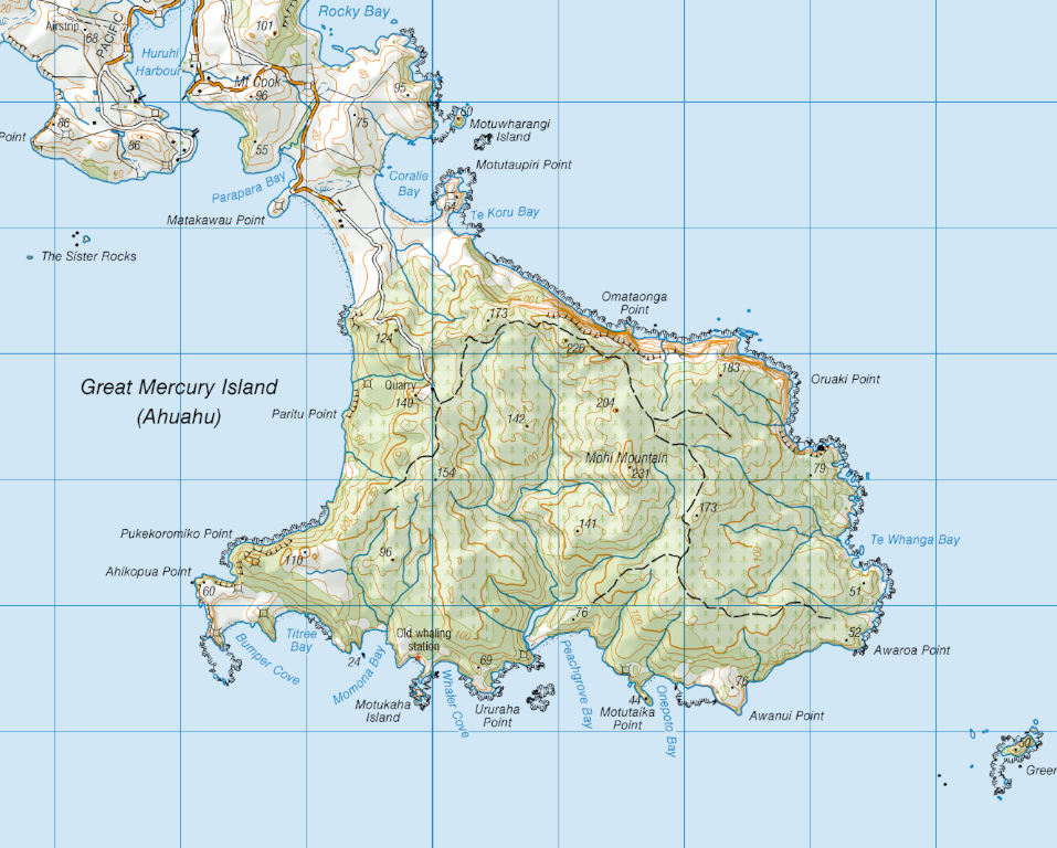
Produced using Topo50 data, this stretches from Whangamatā in the south to Cape Colville in the north, featuring Thames, Pauanui, Whitianga and Coromandel township.
Professionally colour printed on high-quality, heavy-duty, water-resistant, tear-proof paper with a borderless edge.
Sold unframed. Pair your map with one of our Wooden Map Frames, so it's ready to hang when it arrives, or see here for more framing information and frame options.
Size Options:
Please note: data has been compressed to fit as much of the peninsula as possible onto one page. The map is produced using Topo50 data but is reproduced at a smaller scale. When printed at A0, all text is legible. However, at A1 some smaller text may be too small to read.
A0 (84.1 x 118.9cm) - Recommended. An A0 print gives optimal detail and resolution. This map was designed for A0 printing and A0 is our recommended print size.
A1 (59.4 x 84.1cm) - Not recommended. A more compact print. Some smaller text may be too small to read.
Coromandel Peninsula Wall Map
$180.00
Print Size