Custom Maps
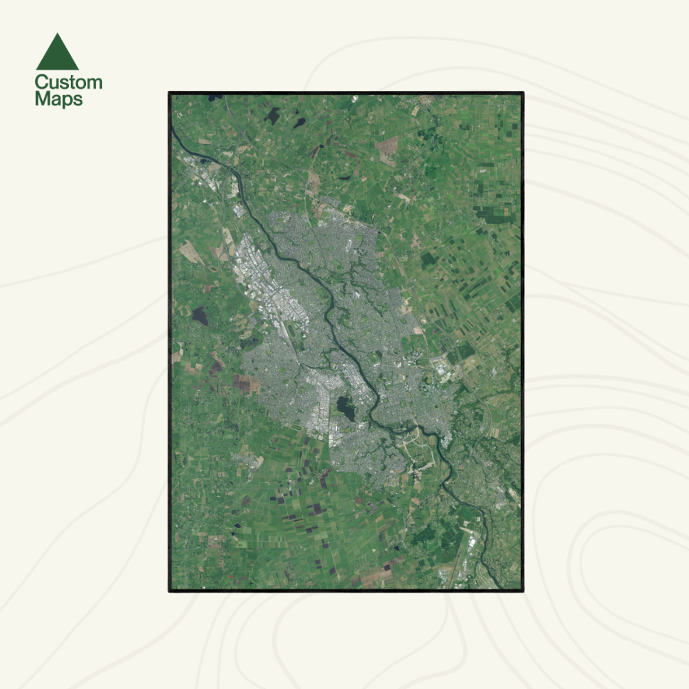
Hamilton Aerial Print
Hamilton Aerial Print
Couldn't load pickup availability
Bring a unique perspective of Hamilton into your home or office with this beautifully detailed aerial map. Captured from high-resolution aerial photography imagery (2023-2024), this print showcases the vibrant landscape, winding Waikato River, and urban layout of one of New Zealand's fastest-growing cities.
Each map has been meticulously edited for clarity, colour balance and visual impact. Our maps are made from hundreds of aerial photos taken on different days, so subtle colour variations may appear.
Printed on premium photographic paper. Designed to make a statement on any wall. Available in multiple sizes.
Custom locations and close ups also available - please contact us.
Sold unframed so you can choose the perfect frame for your space. See here for more framing information and frame options.
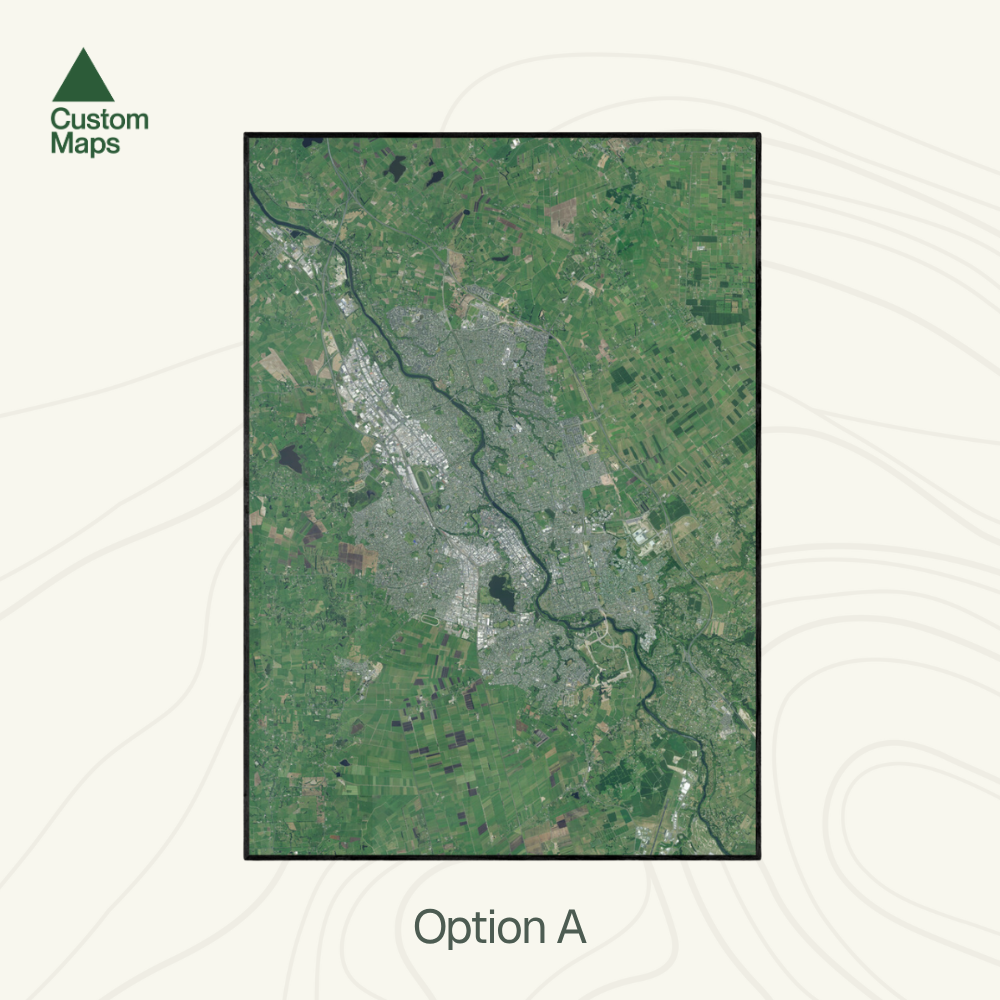
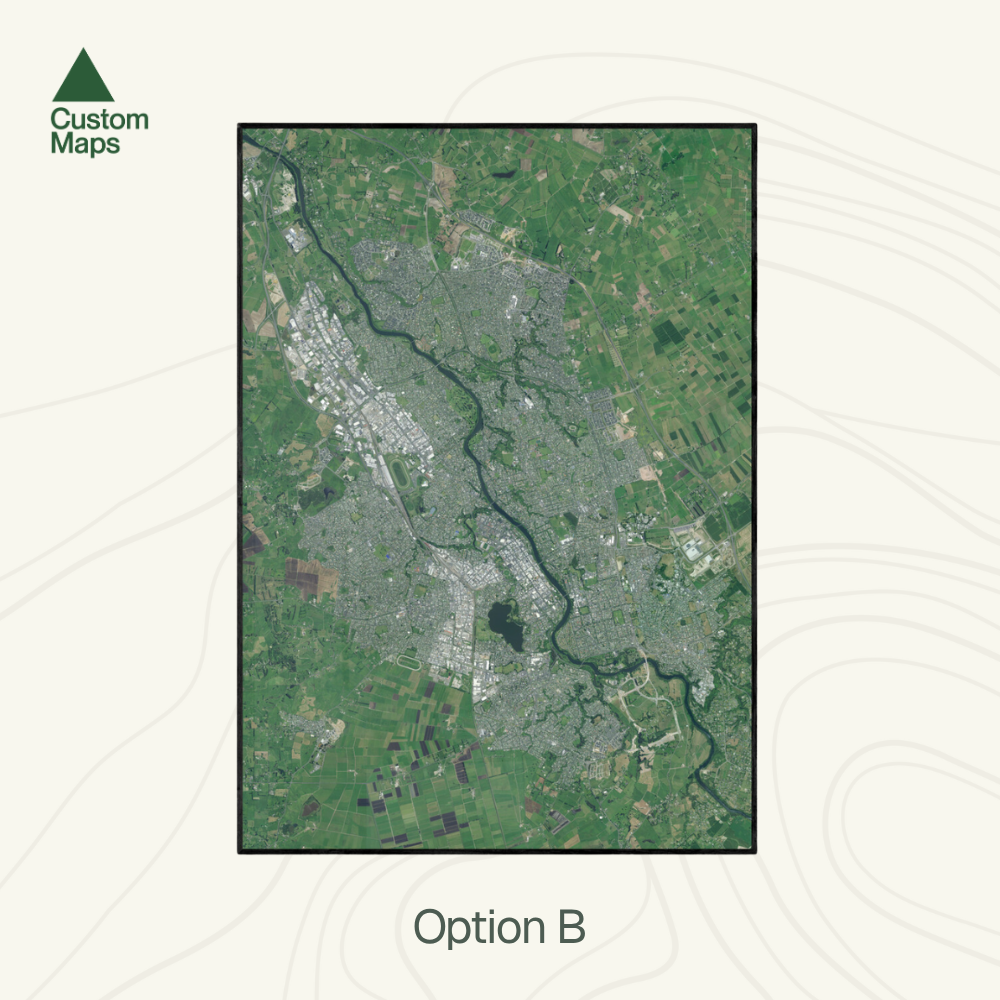
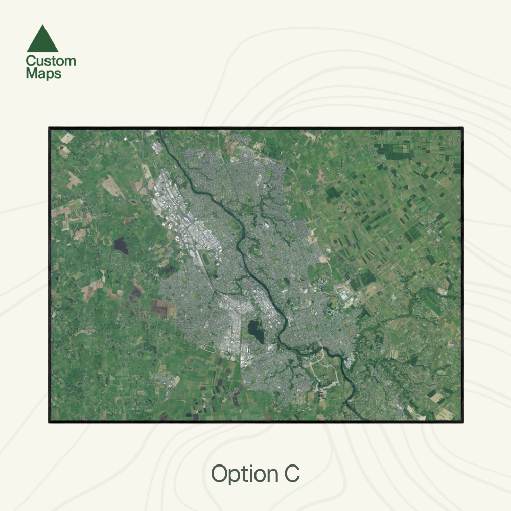
Size Options:
A0 (84.1 x 118.9cm) - An A0 print gives optimal detail and resolution.
A1 (59.4 x 84.1cm) - A more compact print.
A2 (42.0 x 59.4cm) - Our most compact print.