
Custom Maps
Lower South Island Wall Map
Lower South Island Wall Map
- Ships from NZ
- Hundreds of Happy Customers
- The Perfect Gift
Couldn't load pickup availability
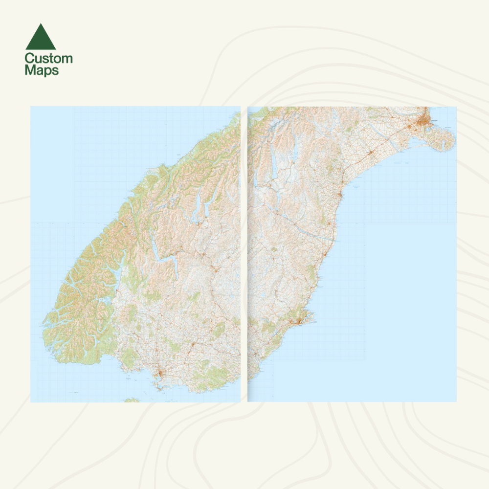
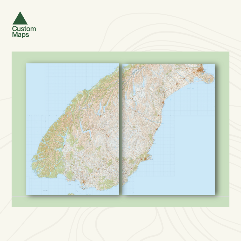
This giant topographic map of New Zealand's lower South Island makes a truly stunning wall display. Produced using Topo250 data, the map stretches from Christchurch in the north, to Invercargill in the south. It spectacularly showcases the whole of the lower South Island.
Professionally colour printed on high-quality, heavy-duty, water-resistant, tear-proof paper with a borderless edge.
This map is printed across two A0 sheets, each measuring 84.1 x 118.9cm, giving a collective size of approximately 1.68m wide x 1.19m high. (There is slight overlap of a few millimetres between the two sheets, to ensure no map is lost in printing and cropping).
Variations are available on this map, or any other custom topo map - please enquire.
Sold unframed. Pair your map with one of our Wooden Map Frames, so it's ready to hang when it arrives, or see here for more framing information and frame options.
Size Options:
Two A0 Sheets (each measuring 84.1 x 118.9cm ; collectively measuring approximately 1.68m x 1.19m) - This is the only print option for this map, in order to optimise detail and resolution.
Lower South Island Wall Map
$385.00
