Custom Maps
Marlborough Sounds Wall Map
Marlborough Sounds Wall Map
- Ships from NZ
- Hundreds of Happy Customers
- The Perfect Gift
Couldn't load pickup availability
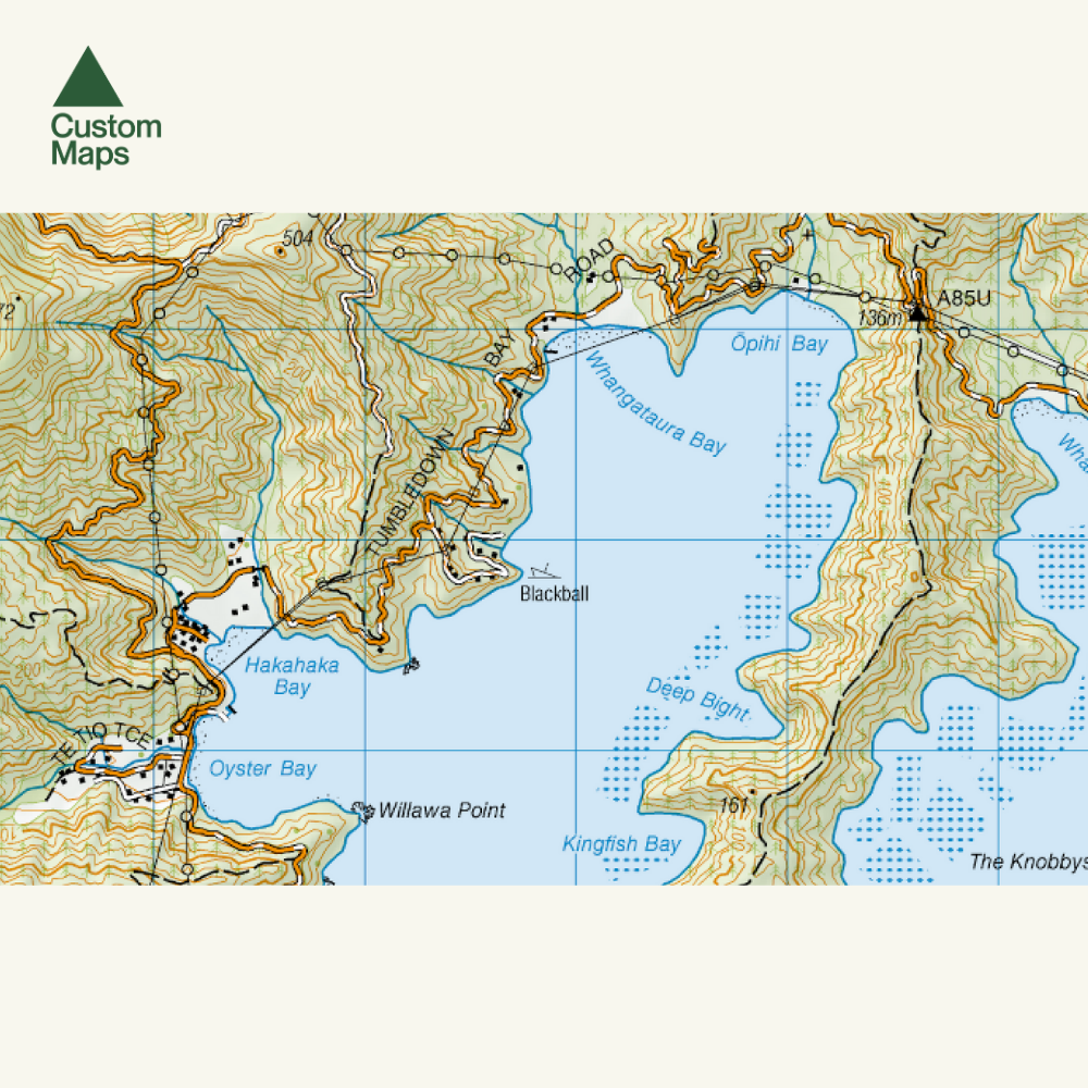
This giant topographic map of the Marlborough Sounds makes a stunning statement piece for any room.
Professionally colour printed on high-quality, heavy-duty, water-resistant, tear-proof paper with a borderless edge.
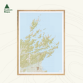
Produced using Topo50 data, this map stretches from Stephens Cape and Island in the far north to Blenheim in the south, featuring the whole of the Marlborough Sounds, including the detail and names of individual bays (see close-up photo).
Variations are available on this map, or any other custom topo map - please enquire.
Sold unframed. Pair your map with one of our Wooden Map Frames, so it's ready to hang when it arrives, or see here for more framing information and frame options.
Size Options:
Please note: data has been compressed to fit as much of the area as possible onto one page. The map is produced using Topo50 data but is reproduced at a slightly reduced scale. For this reason, A0 is the only size option for this map.
A0 (84.1 x 118.9cm) - Recommended. This map was designed for A0 printing and A0 is our recommended print size.
Marlborough Sounds Wall Map
$195.00
Print Size