Custom Maps
Giant North Island Wall Map
Giant North Island Wall Map
- Ships from NZ
- Hundreds of Happy Customers
- The Perfect Gift
Couldn't load pickup availability
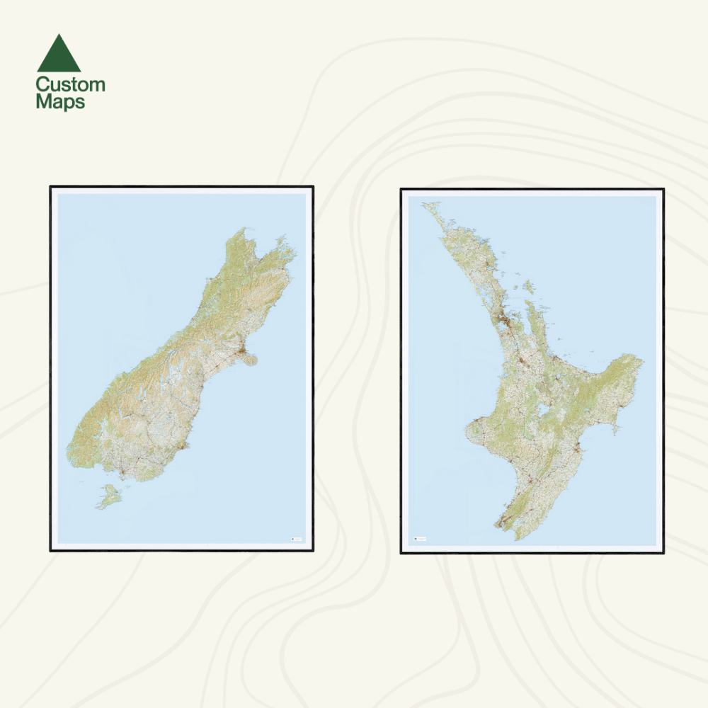
This giant topographic map of New Zealand's North Island is one of our most popular maps — and one of our favourites. Designed as a striking wall piece, it's built for impact from across the room: the kind of map that stops people in their tracks and sparks conversation.
Covering the full length of the North Island - from Cape Rēinga in the north to the Cook Straight in the south - it showcases the extraordinary geography of Te Ika-a-Māui in a single, spectacular view.
A note on scale: We've used compressed Topo250 data to fit the entire North Island onto a single A0 print. This means most place names are not legible up close — this is a wall art piece designed to be appreciated from a distance, not a reference map for reading detail. Major place names are clear but finer text is not. See the close-up photos for an example. If you need a map for detailed study, our regional maps will serve you better.
Professionally printed on high-quality, heavy-duty, water-resistant, tear-proof paper with a borderless edge. Sold unframed. Pair your map with one of our Wooden Map Frames, so it’s ready to hang when it arrives, or see here for more framing information and frame options.
Giant North Island Wall Map
$205.00
Print Size