Custom Maps
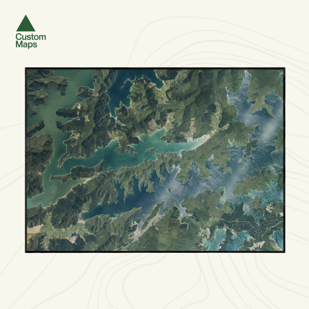
Queen Charlotte Track & Picton Aerial Print
Queen Charlotte Track & Picton Aerial Print
- Ships from NZ
- Hundreds of Happy Customers
- The Perfect Gift
Couldn't load pickup availability
Capture the beauty of one of New Zealand’s most iconic coastal trails with this aerial map of the Queen Charlotte Track.
Stretching from Ship Cove to Anakiwa, this vibrant print showcases the winding bays, native bush, and sweeping ridgelines of the Marlborough Sounds in rich detail. Produced using detailed aerial photography (2023–2024), this print makes a stunning addition to any home, bach, school or office.
Each map has been meticulously edited for clarity, colour balance and visual impact. Our maps are made from hundreds of aerial photos taken on different days, so subtle colour variations may appear.
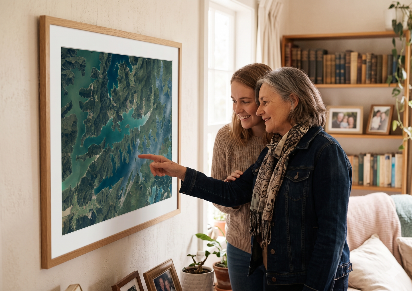
Printed on a premium photo paper. Designed to make a statement on any wall. Available in multiple sizes.
Custom locations and close ups also available - please contact us.
Sold unframed so you can choose the perfect frame for your space. See here for more framing information and frame options.
Size Options:
A0 (84.1 x 118.9cm) - An A0 print gives optimal detail and resolution.
A1 (59.4 x 84.1cm) - A more compact print.
A2 (42.0 x 59.4cm) - Our most compact print.
Queen Charlotte Track & Picton Aerial Print
$165.00
Print Size