Custom Maps
Queenstown & Arrowtown Aerial Print
Queenstown & Arrowtown Aerial Print
- Ships from NZ
- Hundreds of Happy Customers
- The Perfect Gift
Couldn't load pickup availability
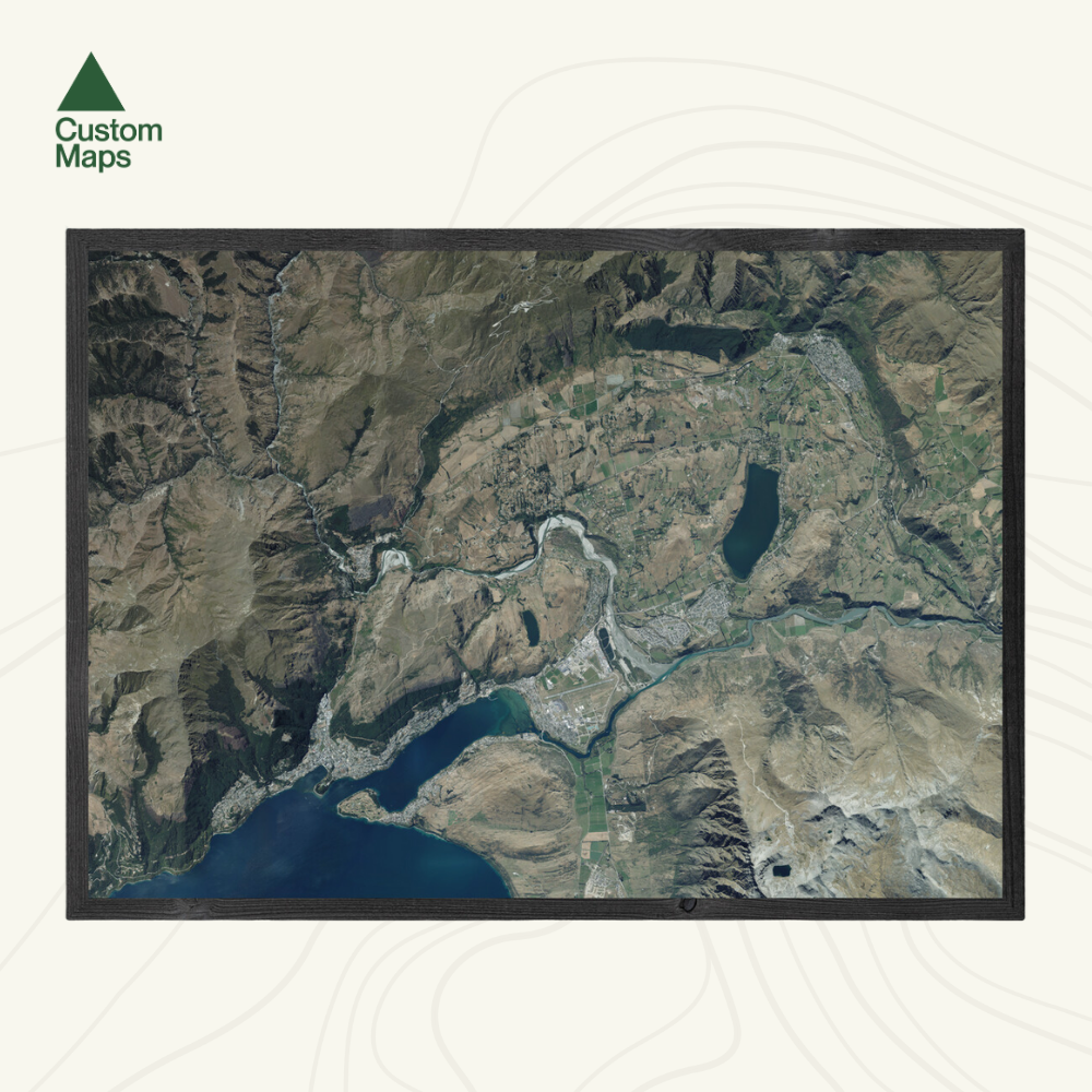
Transform your space with this large-format aerial wall map print of Queenstown and Arrowtown.
Captured from high-resolution aerial imagery (2017–2019), it offers a unique bird’s-eye view of the region, from Coronet Peak in the north to the Remarkables in the south, and from Moke Lake Road in the west to the Kawarau River and Arrowtown valleys in the east.
Each map has been meticulously edited for clarity, colour balance and visual impact. Our maps are made from hundreds of aerial photos taken on different days, so subtle colour variations may appear.
Custom locations and close ups also available - please contact us.
Print Options:
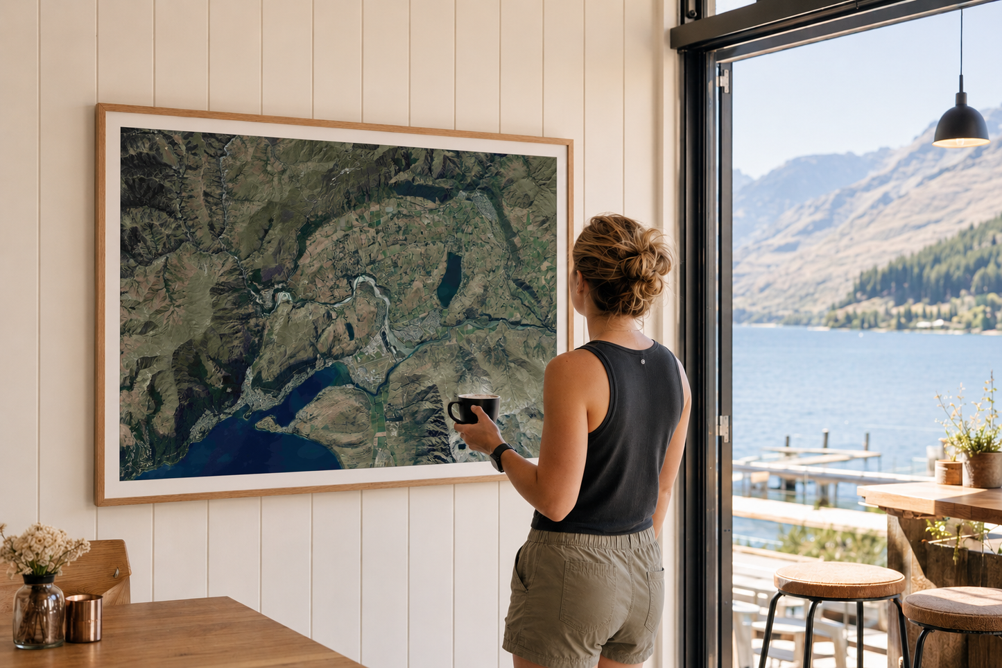
1. Classic - Our original print, printed on premium photographic paper. Sold unframed so you can choose the perfect frame for your space - see our framing guide for options. Available in three sizes:
- A0 (84.1 x 118.9cm) - An A0 print gives optimal detail and resolution.
- A1 (59.4 x 84.1cm) - A more compact print.
- A2 (42.0 x 59.4cm) - Our most compact print.
2. Framed Canvas - Our premium option. Printed at A0 (84.1 × 118.9cm) on art-grade canvas and framed in a raw wood float frame (10mm wide, 45mm deep). Arrives ready to hang - no framing, no hassle. Allow up to two weeks for delivery. See full details and examples here.

Queenstown & Arrowtown Aerial Print
$165.00
Print Type