Custom Maps
Rotorua Wall Map
Rotorua Wall Map
Couldn't load pickup availability
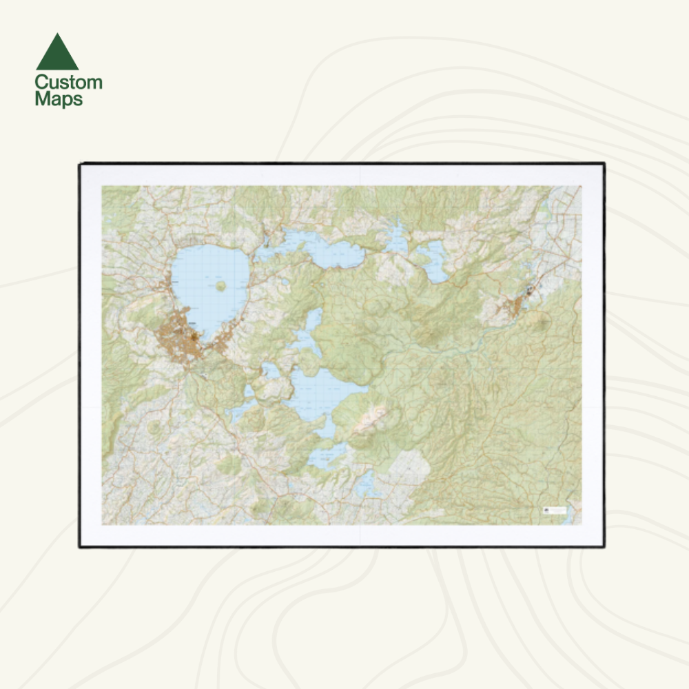
This giant topographic map of Rotorua and the Rotorua Lakes makes a stunning statement piece for any room.
Professionally colour printed on high-quality, heavy-duty, water-resistant, tear-proof paper with a borderless edge.
Produced using Topo50 data, this map showcases the Rotorua Lakes region from Rotorua in the west to Kawerau in the east, featuring the Redwoods / Whakarewarewa Forest, Lake Rotorua, Lake Tarawera, Lake Ōkataina, Lake Rotomahana, Lake Rerewhakaaitu and the Tarawera Forest.
Variations are available on this map, or any other custom topo map - please enquire.
Sold unframed so you can choose the perfect frame for your space. See here for more framing information and frame options.
Size Options:
A0 (84.1 x 118.9cm) - Recommended. An A0 print gives optimal detail and resolution. This map was designed for A0 printing and A0 is our recommended print size.
A1 (59.4 x 84.1cm) - A more compact print. Some smaller text may be harder to read.
A2 (42.0 x 59.4cm) - Our most compact print. Significant detail will be lost at this scale and text might be illegible.


