Custom Maps
Routeburn Great Walk Wall Map
Routeburn Great Walk Wall Map
- Ships from NZ
- Hundreds of Happy Customers
- The Perfect Gift
Couldn't load pickup availability
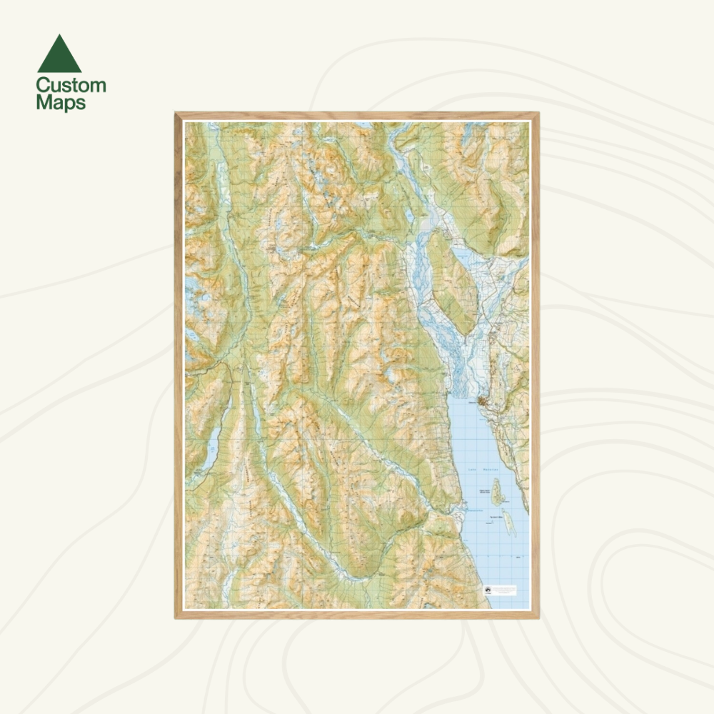
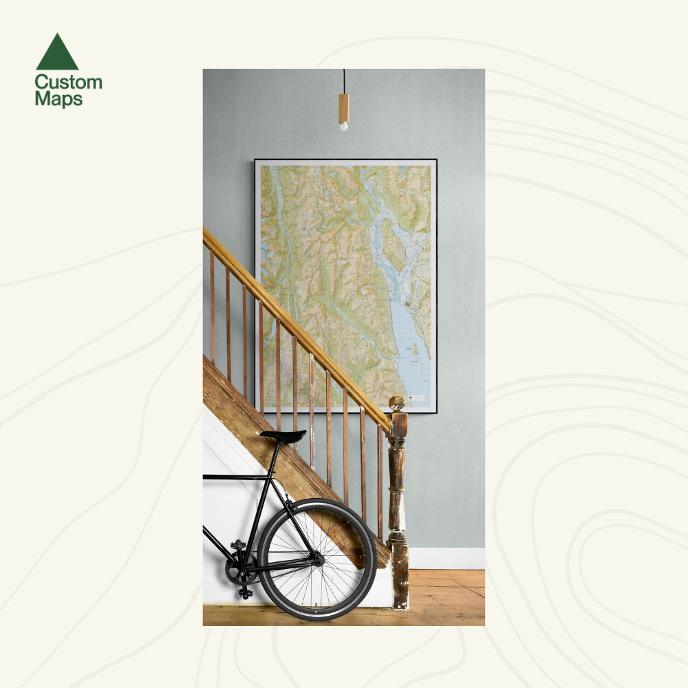
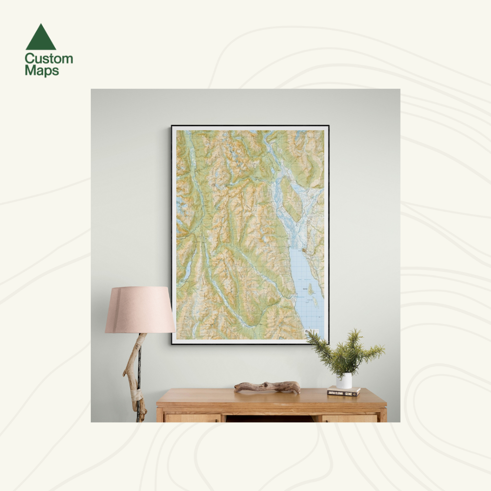
This giant topographic map of The Routeburn Great Walk, Caples and Greenstone tracks makes a stunning statement piece for any room.
Professionally colour printed on high-quality, heavy-duty, water-resistant, tear-proof paper with a borderless edge.
Produced using Topo50 data, this map stretches from Theatre Flat in the north to Lake Wakatipu in the east, the Greenstone in the south and Lake Gunn in the west.
Variations are available on this map, or any other custom topo map - please enquire.
Sold unframed. Pair your map with one of our Wooden Map Frames, so it's ready to hang when it arrives, or see here for more framing information and frame options.
Size Options:
A1 (59.4 x 84.1cm) - Recommended. An A1 print gives optimal detail and resolution for this map. This map was designed for A1 printing and A1 is our recommended print size.
A2 (42.0 x 59.4cm) - A more compact print. Some smaller text may be harder to read.

Routeburn Great Walk Wall Map
$155.00
Print Size