Custom Maps
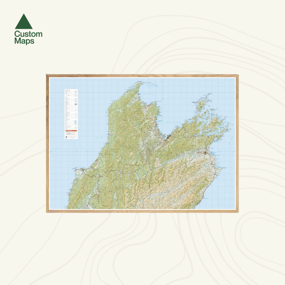
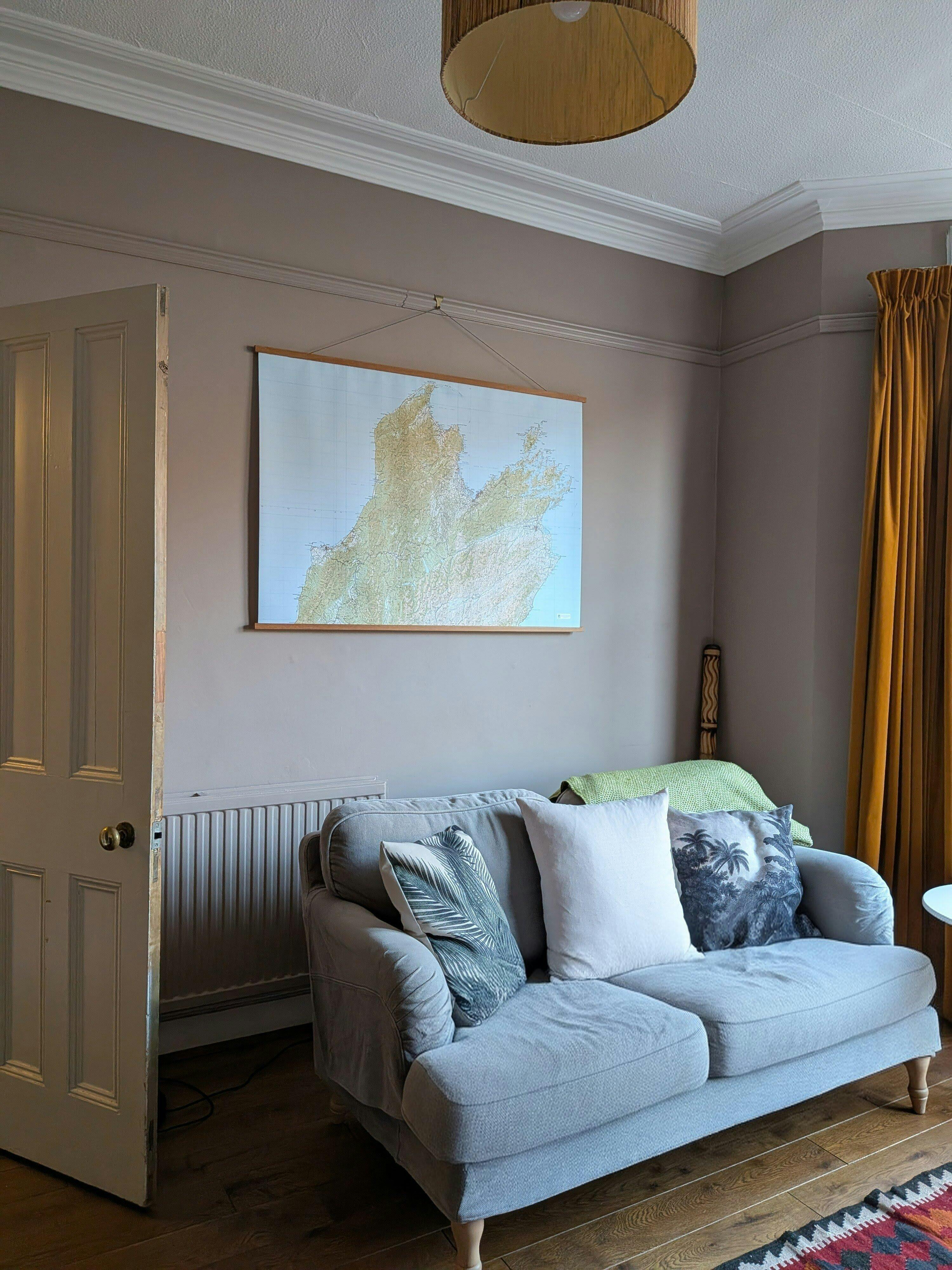
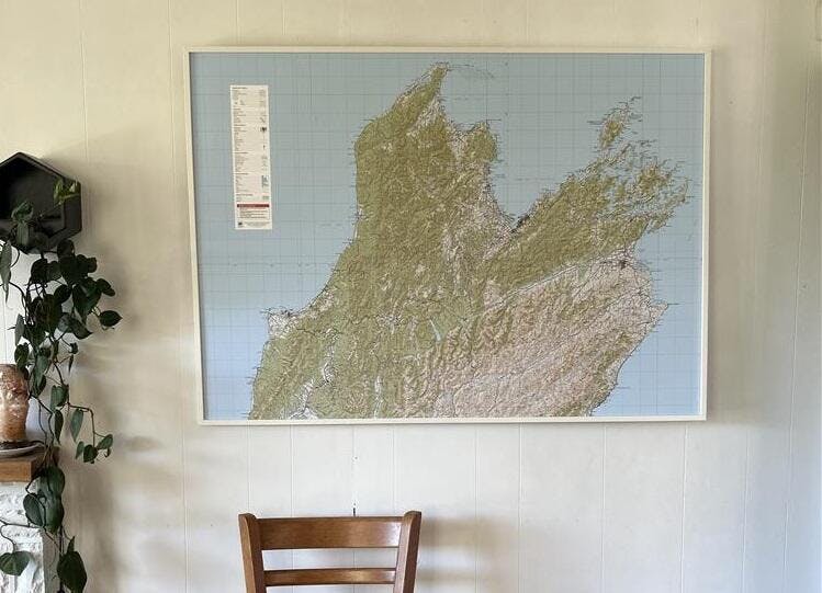
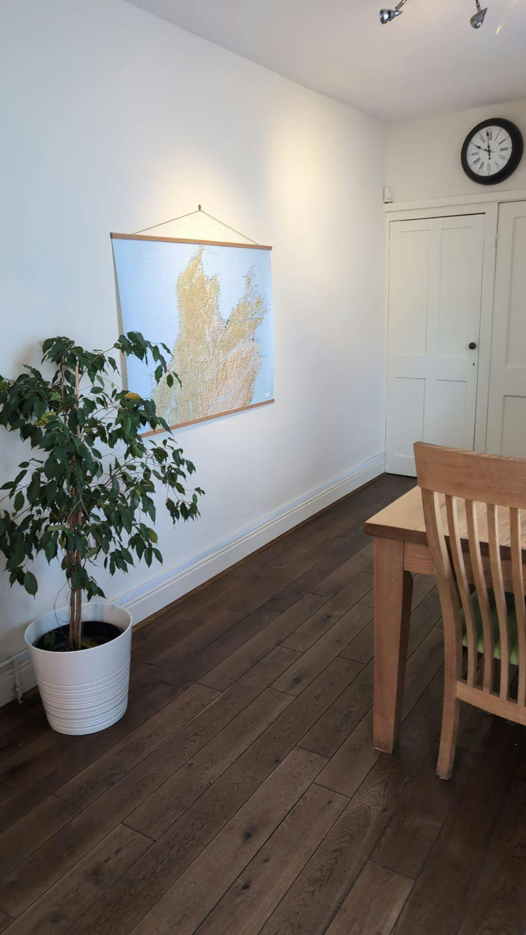
Tasman and Marlborough Wall Map
Tasman and Marlborough Wall Map
- Ships from NZ
- Hundreds of Happy Customers
- The Perfect Gift
Couldn't load pickup availability
This giant topographic map of the top of the South Island stretches across Tasman and Marlborough and makes a stunning statement piece for any room.
Professionally colour printed on high-quality, heavy-duty, water-resistant, tear-proof paper with a borderless edge.
Produced using Topo250 data, this map stretches from Golden Bay and Tākaka in the far north, to Blenheim in the east, and Westport and beyond in the west. It features all the key tramping areas (and huts) of the top of the region.
Variations are available on this map, or any other custom topo map - please enquire.
Sold unframed. Pair your map with one of our Wooden Map Frames, so it's ready to hang when it arrives, or see here for more framing information and frame options.
Size Options:
A0 (84.1 x 118.9cm) - Recommended. An A0 print gives optimal detail and resolution. This map was designed for A0 printing and A0 is our recommended print size.
A1 (59.4 x 84.1cm) - A more compact print. Some smaller text may be harder to read.
A2 (42.0 x 59.4cm) - Our most compact print. Significant detail will be lost at this scale and text might be illegible.

Tasman and Marlborough Wall Map
$145.00
Legend
Print Size