


Historical Banks Peninsula and Akaroa Wall Map (1921)
Historical Banks Peninsula and Akaroa Wall Map (1921)
See it at true scale in a room, or try it on your own wall.
Try it on your wall
For the most accurate preview:
- Face the wall head-on, not from an angle.
- Hold your camera level and straight.
- Get the whole wall in, with a bit of floor.
- Include something you know the width of, like a door or bed.
- Use daylight, no flash.
Your photo stays on your device. Nothing is uploaded.
View on your wall
Your photo stays on your device. Nothing is uploaded.
Set the scale. Drag the two ends of the scale bar across something in your photo that you know the width of, then enter that width.
Made to order · Posted within 5 working days · Free NZ shipping over $250
Make it ready to hang
Add a teak wooden hanger so your map can go straight on the wall.
A premium wooden hanger ensures your beautiful print is ready to go straight on the wall. Magnetic top and bottom rails clip onto your print, with a cord ready to hang.
Fits A0 portrait, A0 landscape and A1 landscape maps.
"Birthday present for my partner, he loves it. Very nice quality paper, colours and frame. Very happy." - Jan
"The map is beautiful. Great quality and great service, thank you. Will be recommending." - Verified buyer
"Awesome service and stunning quality, thank you. We love our new map, it's exactly what we've been looking for." - James
"A fantastic map, clear and beautiful. We are so pleased as this is an important gift for some special friends." - Verified buyer
"Absolutely love this map, combined with the frame it's the perfect wall piece for our home." - Max Houghton
"Great communication and the Custom Maps team really made the process easy for me. The finished product is beautiful." - Amy

Designed by Alec in QueenstownQuestions about this map, sizing or framing? I'm happy to help.Get in touchMy story
Sizes
- A0 (84.1 × 118.9cm) - Recommended. Designed for this size. Best detail and resolution.
- A1 (59.4 × 84.1cm) - A more compact option. Some smaller text may be harder to read.
- A2 (42.0 × 59.4cm) - Our most compact size. Significant detail is lost and text may be illegible at this scale.
Print and finish options
Framed Print - Printed on luxurious 230gsm matte paper and framed to order here in New Zealand, in black satin, natural wood or rimu, with an optional 50mm white mat. Arrives ready to hang - no framing, no hassle. Available in A2, A1 and A0. Allow up to two weeks for delivery.
Canvas - Premium option. Printed on art-grade canvas. Available unframed or in a natural wood or black satin float frame (10mm wide, 45mm deep), built to order here in New Zealand. Arrives ready to hang. Available in A2, A1 and A0. Allow up to two weeks for delivery. See full details and examples here.
Map Description
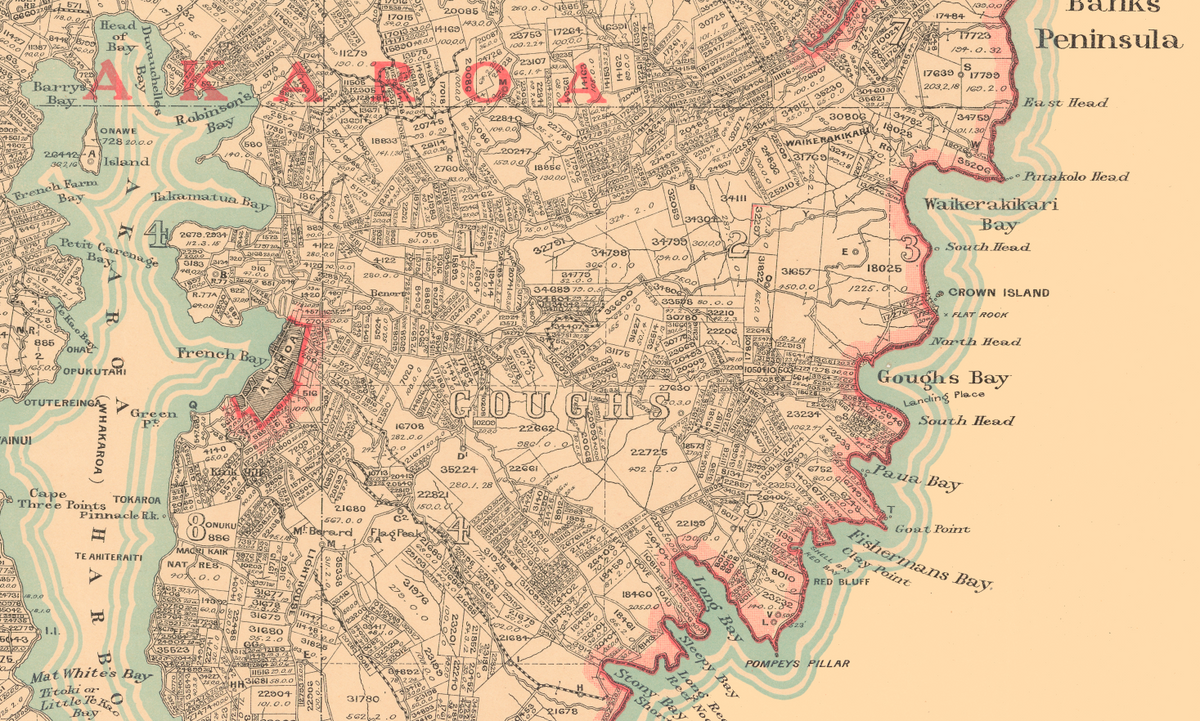
See Banks Peninsula as it was a century ago. This 1921 Map of Mount Herbert, Wairewa and Akaroa Counties captures the whole peninsula in remarkable detail - the drowned volcanic craters of Akaroa and Lyttelton Harbours, the deep bays that cut into its coastline, and the farms, roads and small settlements that linked them.
In 1921 the peninsula was divided into three counties, a local government arrangement long since gone. Many of the bays were still reached more easily by sea than by road. Find the bay where you spend your summers, the farm your family worked, or the road you drive to Akaroa today. Hang it beside our modern Banks Peninsula and Akaroa Wall Map and compare a hundred years of change.
Faithfully reproduced from the original, with its fine linework and lettering intact. A striking piece for bach walls, Canterbury homes, history lovers, and anyone who has spent time around Akaroa.
A meaningful gift for anyone with a bach on the peninsula, family roots in Akaroa or Little River, or a love of Canterbury's history.
Please note: this map is reproduced as per the original, with the addition of a small, discreet copyright acknowledgement. The original was drawn with a great deal of very fine lettering, such as individual property and survey details, and some of this small text may not be legible even at A0. The coastline, harbours, bays and main place names read clearly - this is a piece to admire as a whole rather than a map to navigate by.


- Premium Quality Prints
- Made in New Zealand
- Packed with care
Videos show a Framed Premium Canvas being made. Classic prints and other frame options are finished differently. Compare options
On Customers' Walls
4.92 from 95 reviews See all-
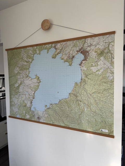 ★★★★★
Awesome map, great quality print. Only thing I'd like to see is some marine topography (i.e. lake depths etc).
Anonymous
-
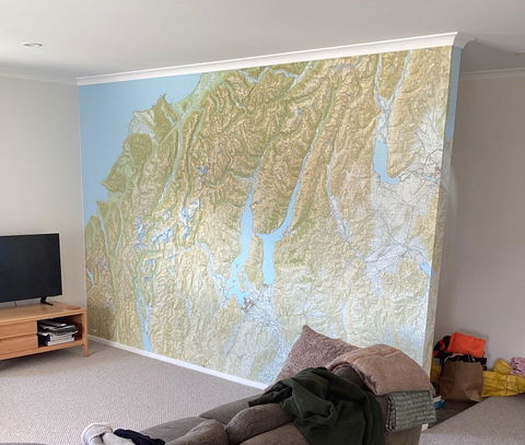 ★★★★★
Thank you for all your effort ! We are stoked with the outcome of every aspect of the wallpaper. The attached photo just doesn't do justice to what you look at in reality. I would be more than happy to recommend your services.
Croydon
-
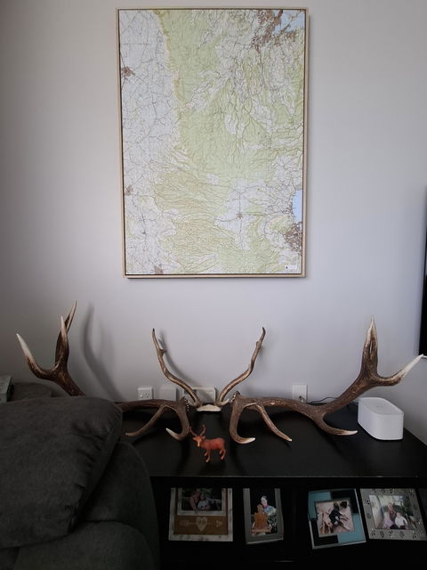 ★★★★★
Really stoked with what Alec put together,very accomadating and managed to get all my favourite hunting spots where animals were caught along with farms i managed or converted.got my whole life in a price of art work on my wall.framing design was top end,highly reccomend 👍
Hamish Mackey
-
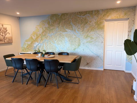 ★★★★★
The map looks great - really happy with how it turned out. Thanks again for making it come together.
Justin & Erin, Christchurch
-
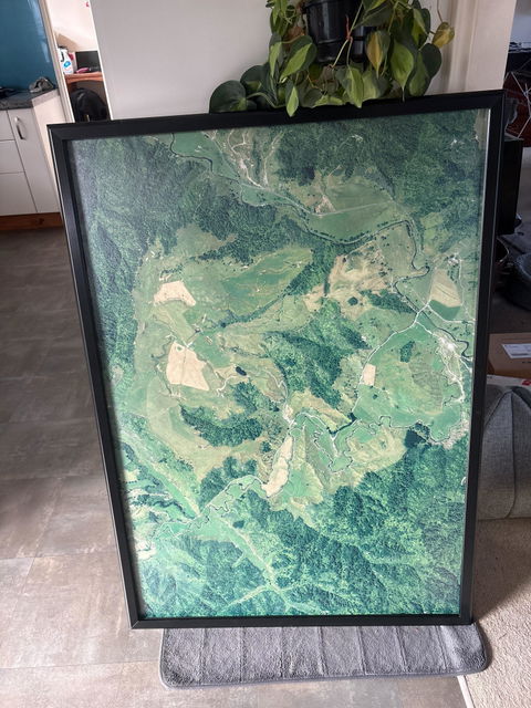 ★★★★★
Got the farm map all framed up today and it looks amazing. Thank you so much !!
Heather
-
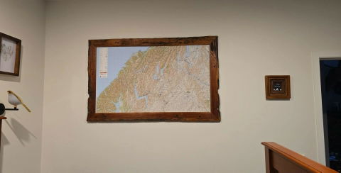 ★★★★★
Its perfect! Had a custom ancient totara frame and it looks awesome. Thanks again
Katie
-
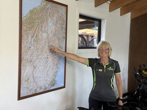 ★★★★★
Fantastic map, exactly as we ordered. Responsive to our enquires, prompt production and delivery.
Martin Cleland : Trail Journeys, Omarama
-
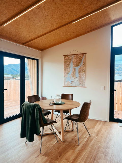 ★★★★★
Absolutely love this map, combined with the frame it’s the perfect wall piece for our home. We’re very grateful, thanks very much!
Max Houghton
-
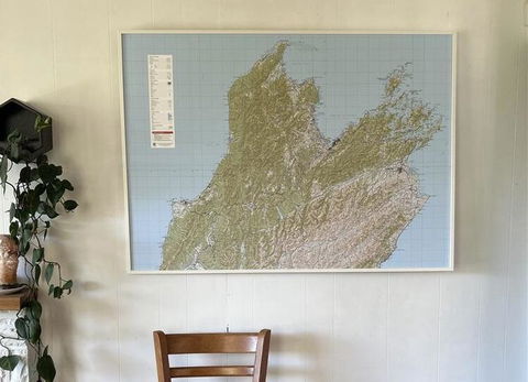 ★★★★★
The map looks amazing - so happy with it!
Kylie
-
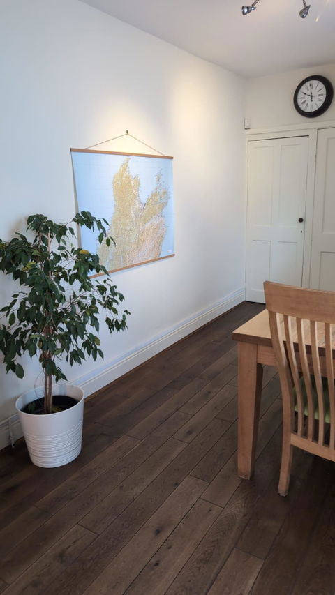 ★★★★★
This lmap is absolutely brilliant! The quality is top-notch, the printing is sharp, the colors are vibrant, and the material feels sturdy and premium. It's perfect for reminiscing about previous trips and planning new adventures. Thank you.
Joe